Map View
Where everything physically is. Useful for weather, port congestion, or any question that is easier to answer by looking at a map than reading a list.
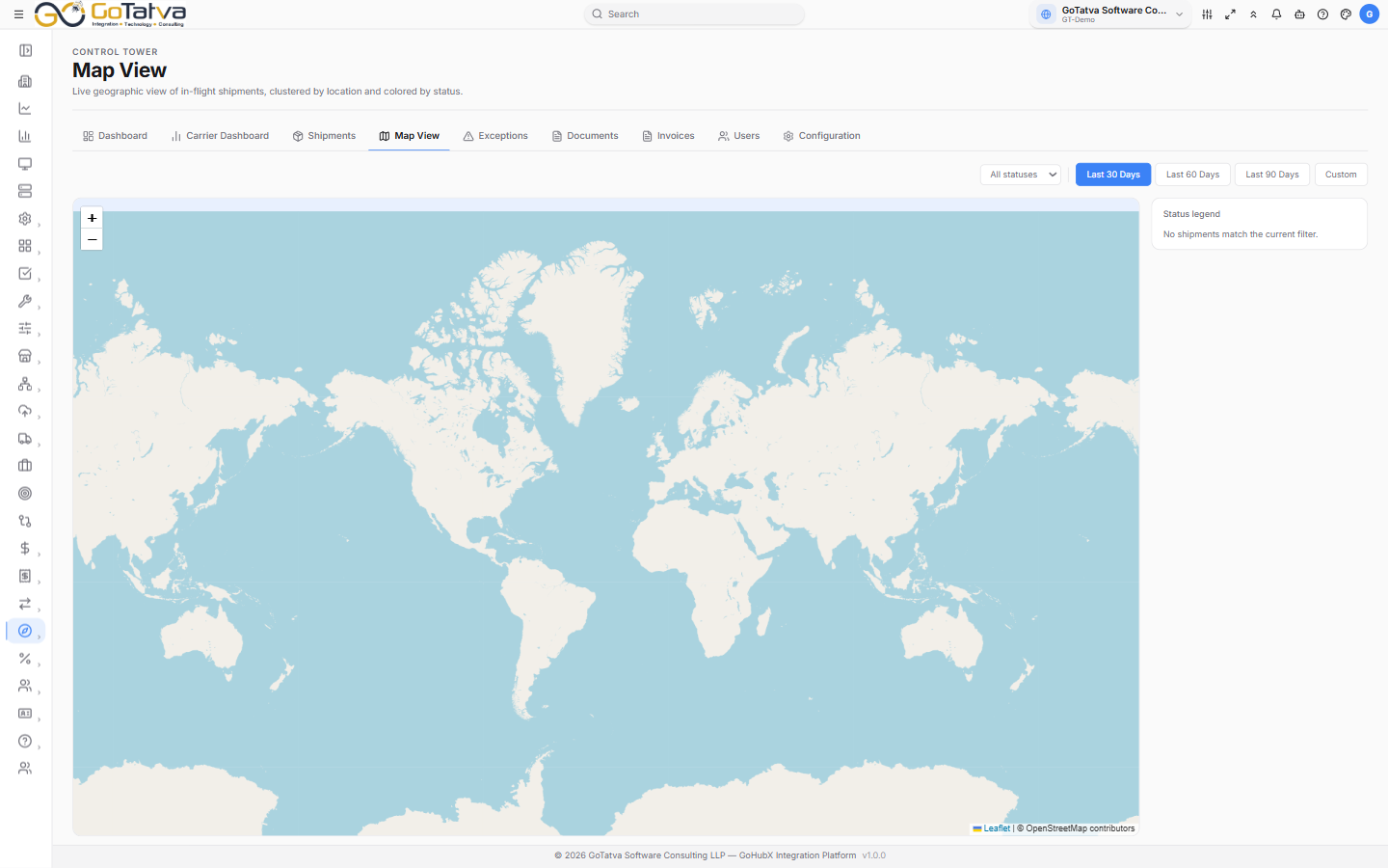
Map View - shipments plotted by status, with the legend and shipment list on the right.
Filters
- Status - all statuses, or just one. The list only offers statuses actually present in the current data.
- Time range - Last 30 Days, Last 60 Days, Last 90 Days, or Custom with two date pickers.
Reading the map
Each shipment is a dot coloured by status - the Status legend on the right lists the ones in view.
Where several shipments sit in the same place, they collapse into a numbered marker. Click it for N shipments at this location and pick one from the list. A cluster takes a status colour only when every shipment in it shares that status; mixed clusters are grey.
Click a single shipment's dot for its ID, carrier, route and ETA, then View detail to open it.
The sidebar
The same shipments as a scrolling list - ID, status, carrier, route, mode and ETA. Click any card to open that shipment. It is often faster than hunting for a dot.
If the map is empty
| Message | Meaning |
|---|---|
| Sync data first. | Nothing has been synced - see Configuration |
| No shipments match the current filter. | Widen the status filter or the date range |
| No shipments with coordinates. | There are shipments, but none carry a position, so none can be plotted. Use Shipments instead |